
Tuesday, May 26—Lone Pine, CA to Seligman, AZ
We rose to a beautiful morning in Lone Pine. The Sierra Nevada Range is literally across the street, with the East side of Mount Whitney best viewed just south of Lone Pine.
Eric Freeman was staying a few doors down from us. We made the typical, roadside motel morning connection. We learned Eric and Debbie have a fascination with Highway 395, to the extent that he has developed a website, Eat and Drive Highway 395—Travel Guide, to help other learn about and explore this historical stretch of highway. Eric is fascinated with and working on a project in the Alabama Hills. He knows all there is to know about movies and TV shows produced there. His favorite is The Lone Ranger. He has been searching for panoramas for several notable scenes, and found them. He had photos of the specific scenes from the TV show to compare to some he took last weekend. Fascinating!
We also met Jerry, a fellow Harley rider. He took immediate interest in Dave’s Marin Corps issue Road King®. In about five minutes he told Dave about four or five thing he could do to dramatically improve his ride at relatively little cost.
Dave headed north backtracking the end of our ride yesterday on his way back to the Bay Area. I headed south on I395. It wasn’t long before I recognized the intersection of I395 and highway 190…and the Mobil station just south of that intersection. Eight years ago we rode on this same stretch on our first ride across the country from Charlotte, NC to San Francisco, CA. I believe this will be the only place where the ride of the past will intersect with the current ride. Call it coincidence, but How Many More Times by Led Zeppelin was playing as I cruised by.
I395 south of Lone Pine transitions quickly to desert surroundings. Another coincidence, perhaps, but I Can See for Miles by The Who shuffled onto my iPod. It captured my thoughts exactly.
As I approached Kramer Junction/Four Corners (the intersection of I395 and highway 58), an array of solar panels suddenly appeared to the West. It looked like a well-organized orchard of metal trees. Solar Energy Generating Systems (SEGS) operates the world’s second largest solar thermal energy generating facility here.
I noticed a particular road sign soon after turning onto I40 from highway 58, “2,554 miles to Wilmington, NC.” Made me laugh.
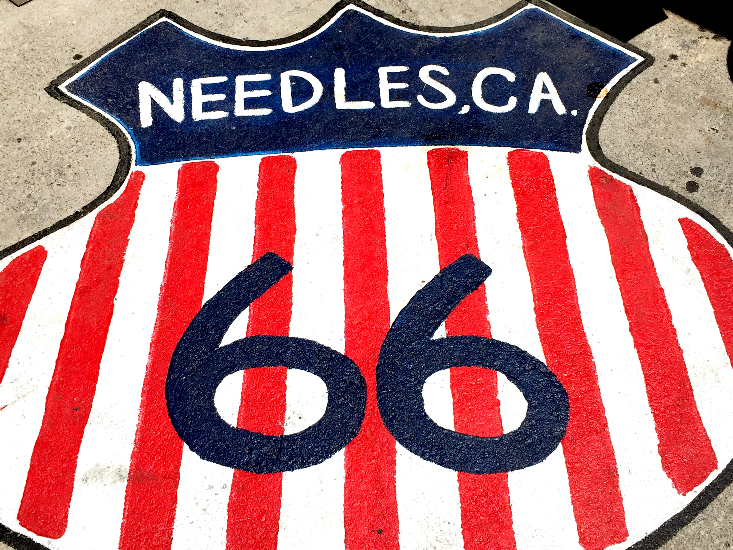
As I cruised along I40 Mohave National Preserve was just to the north, visible from the road. I caught a glimpse of a sign at Newberry Springs pointing towards Historic Route 66. I thought it’d be fun to ride a longer stretch of this historic road that once connected Chicago and Los Angeles. The first three or so miles were isolated and great. I passed an opportunity to return to the faster I40 when my GPS signaled a turn to do so. I listened to the voice tell me I should turn at Hector Road in nine miles. They turned out to be nine miles of hell. Some would describe the road as a “washboard” effect. To me it was more like a quilt of random sections of pavement, potholes, and poorly patched potholes. A car would be OK on this road, but a motorcycle just doesn’t have the suspension (and two extra wheels) required to handle it. I did my best to enjoy the “experience” and rode past a Route 66 sign painted onto the old highway. I thought it would be a good idea to stop to take a picture of it. I quickly discovered that what looked like a compacted, hard dirt shoulder was sandy and very soft. I stopped suddenly in hopes of turning around, and hadn’t downshifted. It took at least five minutes to maneuver my Harley out of the sand. For a brief moment I envisioned waiting two or three hours for someone to come by and help me get it back on the hard pavement. Lesson learned!
From the parking lot of Wagon Wheel Restaurant
Historic Route 66 from Kingman to Seligman is very scenic. Conifers surround portions of the road in contrast to other high desert plant life. I noticed a train heading east, and soon one passing it headed west. Off in the distance they looked more like small caterpillars creeping along the countryside.
Seligman has the advantage of being very close to I40, so it gets a fair amount of traffic. Much of Historic Route 66 is essentially abandoned, evidence of the destruction that occurs when a new, bigger and better highway bypasses an older one. Primarily the Hualapai tribe, “People of the Tall Pines”, inhabits this particular stretch of the historic route. The tribe is famous for constructing The Skywalk. Located on tribal lands, it consists of a horseshoe shaped steel frame with glass floor and sides that projects about 70 feet rom the Grand Canyon West rim.
I checked the Historic Route 66 motel out on Trip Advisor. Seemed like a good place to end the day. I ended up in a Harley-Davidson decorated room that had a highly fragrant soap smell. On a trip like this, you win some and lose some. In spite of the odor the hotel was reasonably comfortable and convenient.
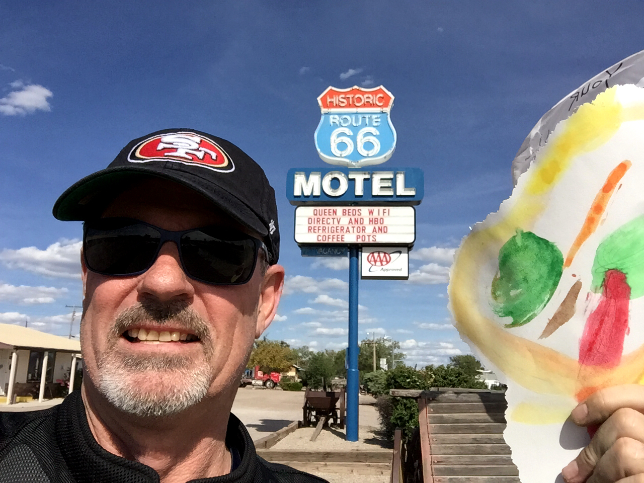
Me holding a large lollipop my granddaughter, Payton, gave me the day before I left.
Route: I395, 58, I40, Historic Route 66 at Newberry Springs, I40 at Hector Road, Historic Route 66, I40, Historic Route 66 from Kingman to Seligman
Miles Today: 460
Time Today: 8:05
Total Trip Miles: 850
Weather: Cool 55°F, high 95°F in Needles, CA, 80°F on arrival in Seligman
Lunch: Wagon Wheel Restaurant
Lodging: Route 66 Motel
Dinner: Road Kill Cafe

Thanks for sharing your travels.
Great reading about your journey, Gordo. Looking forward to reading more. Phil 3:10